Added to your Itinerary Planner below
Distance calculator
Map Filters
Customise your trip with our filters.
Map Filters

Toggle between the options below to show available markers.
General info Equestrian Info Cycling InfoAccommodation
Points of interest
Services
Routes
Accommodation
Points of interest
Transport
Accommodation
Points of interest
Transport


The custom route elevation is created when you use the distance calculator (above) to draw a line.
The custom route elevation is created when you use the distance calculator to draw a line.

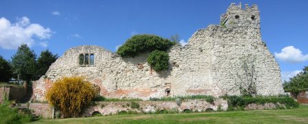
Wallingford Castle was built in the 11th century as a royal stronghold but was captured and demolished at the end of the Civil War. Today, it is possible for visitors to see the remains of St Nicholas College, two sections of castle wall and the motte hill. It is an interesting site to explore and easily accessible from the Ridgeway National Trail (approximately 1 mile away). Parking, shops and services can also be found in the town of Wallingford.
